
Report preview
10 Apollo Ave, West Pymble NSW 2073
Risk & fact checks
Land value, size, zoning, aspect.
9.53M
25980m²
SP2
Special Purpose Zones
 Backyard faces
East
Gentle morning light
Surrounding risks: noise and traffic.
Local Road
No major road or railway nearby
Low aircraft noise
Assess this property against 20+ risk factors. See full report.
Price
A property’s location within a suburb can have a major impact on its value. Compare this pocket against the suburb average to understand whether you’re paying a premium.
A property’s sales history alongside suburb median price trends help understand how its value has changed over time.
Last sold
-
Owned for
-
Get deeper insights with 30 years sales history, comparable sales and a detailed price pocket map in the full report.
Red Flags
FREE
knest.ai App
For buyers actively searching, inspecting and comparing homes.
Everything in the full report, plus:
Ask AI experts 24/7
Guidance on risks, pricing, negotiation, suburbs, floor plans and mortgages
Compare properties
Apple-to-apple comparisons across 20+ features
Smart inspection notes
Capture image, voice and text notes, then get AI summaries
Daily recommendations
Updated property matches and reminders based on your preferences
Get the knest.ai app
Gain ultimate insights into any property
Buyer-focused property platform identifying risks, price estimates, 3D land maps and more to help you make smarter decisions — completely free.
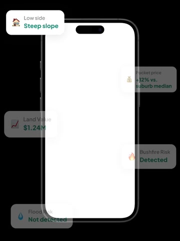
Property Location Overview
Land Size, Value and Local Market Comparison
Land area: 25980m², representing the total site size. Compared with suburb median: 2695% above the suburb median, for land size relative to local properties. Land valuation: 9.53M, based on the latest assessed site value. Compared with local market: 394% above median, for land value relative to local properties. Nearby median property price: $3.22M, reflecting the typical price point in this immediate area.
Which way does the block face?
Backyard orientation: East, indicating the direction the rear of the property faces. Orientation outlook: Gentle morning light, describing the typical characteristics associated with this aspect.
What This Property's Zoning Means
Zoning: SP2 (Special Purpose Zones), showing the official planning classification and the types of land use or development generally permitted on this site.
What Could Affect This Property Nearby
Nearby infrastructure: Local Road, describing nearby transport infrastructure in the surrounding area. Aircraft noise exposure: Low aircraft noise, reflecting local aircraft noise conditions. Road type: N/A, describing the property's immediate street environment.
Property Ownership and How Often Homes Change Hands
Rental rate: 15%, showing the share of nearby properties occupied by renters. Previous sale price: —, based on the most recent recorded transaction. Current ownership period: —, reflecting how long the property has been held.
How often homes sell on this street: —, indicating local turnover activity.
The property sits on a level 25980 sqm block with a east-facing rear in a premium pocket of West Pymble. Land value is 394% above median. and it is in the West Pymble Public School catchment. Information of comparable sales is available after you sign in.
The nearest bus stop is Wallalong Cres After Apollo Av, located 230m from the property.
Secondary school catchment: Turramurra High School, 4.5km from the property, with a Strong level rating. Our Lady of Perpetual Succour Catholic Primary School is the nearest private school, 1.2km from the property, serving students from K-6 and offering co-ed enrolment. Macquarie University Special Education Centre is the nearest private school, 7.5km from the property, serving students from U and offering co-ed enrolment. Nextsense School is the nearest private school, 7.5km from the property, serving students from U and offering co-ed enrolment. NextSense School - Spoken Language Program is the nearest private school, 7.0km from the property, serving students from U and offering co-ed enrolment. NextSense School - Sign Bilingual Program is the nearest private school, 7.0km from the property, serving students from U and offering co-ed enrolment.
Iga Local Grocer West Pymble is the nearest supermarket, 1.2km from the property. Gordon Private Hospital is 4.6km from the property. Sequoia Park is the nearest park, 760m from the property. Macquarie University Sport Fields is 1.6km from the property. Unnamed Park is 1.1km from the property. Lane Cove National Park is 270m from the property. Lane Cove River is 453m from the property. The coastline is 15.4km from the property. Queenscliff Beach is 15.3km from the property.