Hawkesbury-Nepean Valley
The largest flood risk in NSW by population. Floodwater backs up behind the sandstone gorges downstream, so levels rise high and stay high.

Free · NSW · Checked against government flood data
Flood is the one risk a listing will not mention and an inspection cannot see. Type the address and the free report shows the flood layer for that lot, with bushfire, heritage, zoning, noise and recent sales beside it.
NSW does not have one flood zone. Each council maps its own floodplain and applies development controls to the part of it called the flood planning area: usually the land below the 1% annual exceedance probability (AEP) flood level plus a freeboard, most often 0.5 metres. The 1% AEP flood is the one people call the 1-in-100-year flood. It means a 1% chance in any year, and it can happen two years running.
Beyond the flood planning area is land that can still flood in a rarer event, up to the probable maximum flood. A property can be flood-prone without being inside the flood planning area, which is why the council's full flood study matters more than a yes-or-no label.
Checked against NSW planning and SES guidance on 8 October 2026. Reading the contract? Here is what a flood-prone tag means for insurance and value.
Three river systems account for most of Sydney's residential flood exposure. Each suburb below links to its knest suburb page, where every address has its own report.
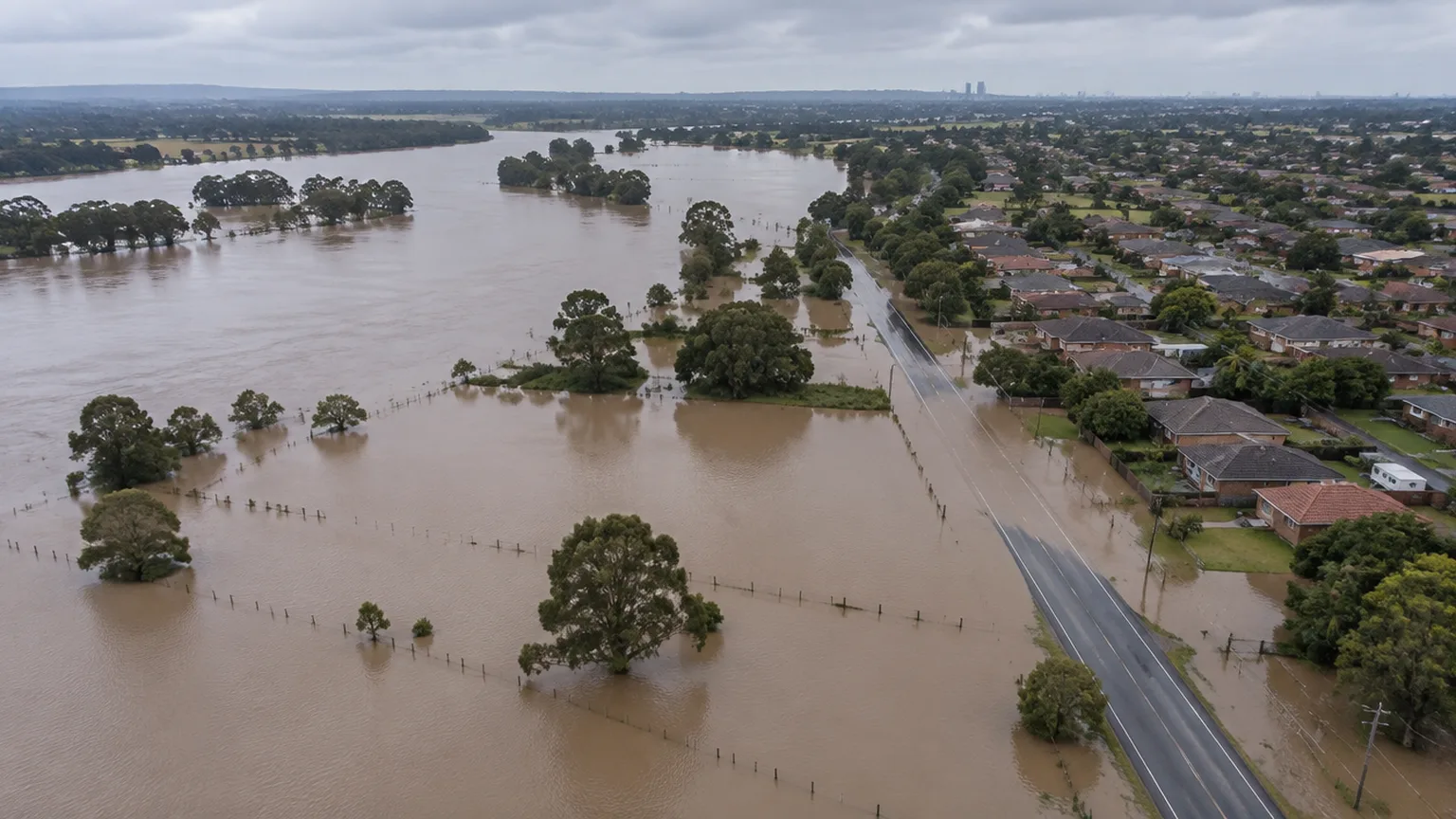
The largest flood risk in NSW by population. Floodwater backs up behind the sandstone gorges downstream, so levels rise high and stay high.
Low-lying land along the river and its tributaries through south-west Sydney, with a long record of flooding.
Flash flooding in the inner south-west, where heavy rain runs off hard surfaces faster than the channel can carry it.
Not in one of these? Flash flooding from local creeks and stormwater affects suburbs across Sydney. The address check above covers every NSW property.
Flood, bushfire, zoning, heritage, noise and what comparable homes sold for, in one free report. Then ask the AI agent what it means for your offer.
Get the free property reportCheck the address, not the suburb. The Section 10.7 planning certificate attached to the contract states whether the land is subject to flood related development controls. Your council's flood map or flood study gives the detail, the NSW SES Flood Data Portal publishes many of those studies, and a knest free report shows the flood layer for the address alongside the other risks. Then get an insurance quote on the exact address: the premium is the market's view of the risk.
The land a council applies flood related development controls to. In NSW it is usually the area below the 1% annual exceedance probability (AEP) flood level plus a freeboard, commonly 0.5 metres. The 1% AEP flood is often called the 1-in-100-year flood, which means a 1% chance in any given year, not once a century.
A 10.7(2) certificate must be attached to every NSW residential contract for sale. It states whether the land is within the flood planning area, and in many councils whether it sits between the flood planning area and the probable maximum flood. It does not show the flood depth or history: ask the council for the flood study or a flood information certificate for that.
Not quite. Flood-prone land is any land that can be inundated, up to the probable maximum flood. The flood planning area is the smaller part of it that councils control development on. A property can be flood-prone without being inside the flood planning area, which is why the council's full flood study matters.
Yes. Since 2012 Australian home policies use one legal definition of flood, and insurers price it by address. A higher-risk address pays more, and in some cases flood cover is excluded. Get a real quote before you exchange rather than after.
Usually, with controls. Inside the flood planning area councils typically require a minimum floor level set at the flood planning level, and may limit excavation, fencing and ground-floor uses. Check the council's flood controls before assuming an extension or a knock-down rebuild is possible.
It can. Buyers price in higher insurance, building limits and the risk itself, and the discount depends on how exposed the property is. Compare recent sales of flood-affected and unaffected homes on the same street; a knest report lists both.
Sources