The Block
Standard residential landStandard residential land. Steep block and partly overlooked yard create trade-offs, but the usable size and local road setting keep it practical.

An independent, buyer-focused assessment across three pillars — the land itself, its location, and where its price sits within the market.
K-score
The Block
Standard residential landStandard residential land. Steep block and partly overlooked yard create trade-offs, but the usable size and local road setting keep it practical.
Convenience & Lifestyle
Well connectedWell connected. No main transport within 2km, but a bus stop and beach are close; schools and shops require a drive or longer walk.
Price Positioning
Lower-Mid TierLower-Mid Tier. Pocket median sits 21% below suburb, while recent comps are near median, pointing to a more accessible local price tier.
1.59M
619m²
R2
Low Density Residential
 Backyard faces
South West
Warm afternoon sun
Local Road
No major road or railway nearby
Low aircraft noise
Assess this property against 20+ risk factors. See full report.
Last sold
-
Owned for
-
Get deeper insights with 30 years sales history, comparable sales and a detailed price pocket map in the full report.
Bathrooms
Bathroom count may feel limited
Bathrooms
Bathroom count may feel limited
Check risks you can't find in listings
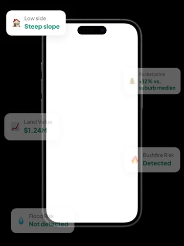
Listings hide them, buyers find out too late. Check flood, bushfire, heritage, power lines and more — free.
Check risks you can't find in listings
Listings hide them, buyers find out too late. Check flood, bushfire, heritage, power lines and more — free.
FREE
Full Report
For buyers who want to check the property more seriously.
Everything in the preview, plus:
25+ risk checks
3D land model, bushfire, flood, power lines, heritage constraints and more
Price insights
Pocket price heat map, street sales history, property sales history and comparable sales
Location & lifestyle
Schools, transport, shops, cafés, parks and more
Pocket price map
A property’s pocket shows where its price sits within the suburb. Pocket prices can differ by more than 50%.
3D Land Map
See the true land in 3D. Land slopes affect cost, drainage and usability which are hard to visualise in listing photos.
Comparable sales
Fair price depends on what buyers actually paid for similar homes nearby — not what agents are asking.
Sales History vs Suburb Price Trends
See long-term price growth, market cycles, and property performance against the suburb median.
FREE
knest.ai App
For buyers actively searching, inspecting and comparing homes.
Everything in the full report, plus:
Ask AI experts 24/7
Guidance on risks, pricing, negotiation, suburbs, floor plans and mortgages
Compare properties
Apple-to-apple comparisons across 20+ features
Smart inspection notes
Capture image, voice and text notes, then get AI summaries
Daily recommendations
Updated property matches and reminders based on your preferences
Get the knest.ai app
Gain ultimate insights into any property
Buyer-focused property platform identifying risks, price estimates, 3D land maps and more to help you make smarter decisions — completely free.
The nearest bus stop is Elvina Av After Patrick St, located 160m from the property.
Primary school catchment: Avalon Public School, 1.6km from the property, with a Good level rating. Secondary school catchment: Barrenjoey High School, 1.5km from the property, with a Good level rating. Barrenjoey Montessori School is the nearest private school, 1.5km from the property, serving students from K-5 and offering co-ed enrolment. Maria Regina Catholic Primary School is the nearest private school, 860m from the property, serving students from K-6 and offering co-ed enrolment.
Woolworths Metro Avalon is the nearest supermarket, 1.2km from the property. Avalon Community Library is 1.1km from the property. Mona Vale Hospital is 9.4km from the property. Jamieson Park is the nearest park, 270m from the property. Hitchcock Park Dog Park is 1.7km from the property. Bangalley Headland is 1.1km from the property. Hawkesbury River is 7.0km from the property. The coastline is 639m from the property. Avalon Beach is 832m from the property.